
Remote Sensing
Understanding Remote Sensing
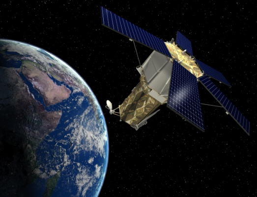
Remote Sensing is the acquisition of information about an object or phenomenon without making physical contact with the object.The quality of remote sensing data consists of its spatial, spectral, radiometric and temporal resolutions.
- Spatial resolution: The size of a pixel that is recorded in a raster image typically pixels may correspond to square areas ranging in side length from 1 to 1,000 meters .
- Spectral resolution: The wavelength width of the different frequency bands recorded, usually, this is related to the number of frequency bands recorded by the platform.
- Radiometric resolution: The number of different intensities of radiation the sensor is able to distinguish. Typically, this ranges from 8 to 14 bits, corresponding to 256 levels of the gray scale and up to 16,384 intensities or "shades" of color, in each band. It also depends on the instrument noise.
- Temporal resolution: The frequency of flyovers by the satellite or plane, and is only relevant in time-series studies or those requiring an averaged or mosaic image as in deforesting monitoring. Cloud cover over a given area or object makes it necessary to repeat the collection of said location.
 Mapping and satellite data
Remote sensing images are normally in the form of digital images. In order to extract useful information from the images, image processing techniques may be employed to enhance the image to help visual interpretation, and to correct or restore the image if the image has been subjected to geometric distortion, blurring or degradation by other factors.
Applications of remote sensing data
Remote sensing applications read specialized file formats that contain sensor image data, georeferencing information, and sensor metadata. Some of the more popular remote sensing file formats include: GeoTIFF, HDF, and NetCDF.
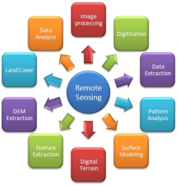
Remote Sensing applications perform many features including:
- Change Detection: Determine the changes from images taken at different times of the same area
- Orthorectification: Warp an image to its location on the earth.
- Spectral Analysis: Using visible and non-visible parts of the electromagnetic spectrum to differnetiate
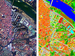
- Image Classification: Categorization of pixels based on reflectance into different land cover classes (e.g. Supervised classification, Unsupervised classification and Object Oriented Classification)